Les Arcs by bike
Les Arcs-sur-Argens is both very well-served by public transport and ideally located for coastline, countryside, vineyard, hills or mountain cycling for all, whether you are a rookie or a fanatic.
Indeed, at the foot of the village flows L'Argens river which valley allows relaxed family strolls.
Le Massif des Maures further south stretching from the right bank of the river to the sea is a fabulous playground for mountain biking or daily road cycling to the Mediterranean costline.
Les Arcs is also located in the heart of the vineyards « Côte de Provence » and on the foothills of Pre-Alps too.
A pleasant mixed loop vineyard/hills or a sporty scenic route across Verdon Grand Canyon can be therefore planned.
For leisurely rides, La
La gare SNCF/routiére
It is worth noting that bicycle facilities are available in all TER (Express Regional Train) with no need to book in advance and at no extra cost.It means you can get off the train with your bike for a stay here. You can also get on the train from your vacation spot here with the good idea to dramatically extend the scope of exploring new places or riding different landscapes.
Les Arcs - Cycling Routes nearby
Distance : 5 km
Difficulty Rating : 2/5
5 km pretty flat ride - a few very short steep inclines near bridges or ways under the railbed and also in the Saint-Charles wood - on the section 2 of the famous greenway La Vigne Ă VĂ©lo (Vineyard by Bike).
Distance : 10 km
Difficulty Rating : 1/5
10 km leisurely flat ride to discover the village and some small bicycle friendly roads nearby.
Distance : 11 km
Difficulty Rating : 2/5
11 km pretty flat (a few very short steep sections) return ride on the famous greenway La Vigne Ă VĂ©lo (Vineyard by Bike).
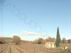
Distance : 12 km
Difficulty Rating : 2/5
12 km pretty flat ride combining back roads and the famous greenway La Vigne Ă VĂ©lo (Vineyard by Bike).
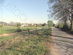
Distance : 13 km
Difficulty Rating : 2/5
13 km to discover the bottom and the top of the village as well as its plain nearby.
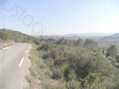
Distance : 15 km
Difficulty Rating : 2/5
13 km total. 5 km flat to warm up then 2 km uphill to get a nice overview. Nice back roads through St Martin chapel and Taradel Sarazin Tower then downhill to les Arcs.
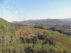
Distance : 16 km
Difficulty Rating : 3/5
16 km of tracks and small roads. Hillside (chemin de Beauveser) then uphill to the viewpoint (nice overview on Argens valley). Back to les Arcs through the forest on tracks and rural back roads
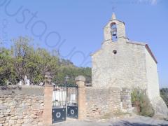
Distance : 20 km
Difficulty Rating : 2/5
20 km total. 5 km flat to warm up then 2 km uphill to get a nice overview. Nice back roads through St Martin chapel, Taradel Sarazin Tower, Château d'Ott vineyard and Mediterranean forest.
Distance : 21 km
Difficulty Rating : 2/5
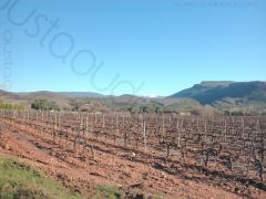
21 km pretty flat through Les Arcs, La Motte and Le Muy vineyards.
Distance : 27 km
Difficulty Rating : 4/5
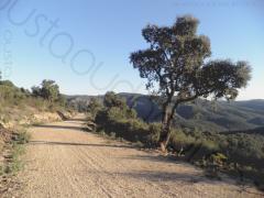
Mainly off road cross country ride in the heart of the very wild Massif des Maures. 10 km climb after the bridge over the Aille river to reach the holy grail at alt. 320m.
Last section downhill on tough rocky track from Les Canebières. Please read Tips for cyclists touring Provence, French Riviera and hinterland for this total change of scenery !
Distance : 32 km
Difficulty Rating : 3/5
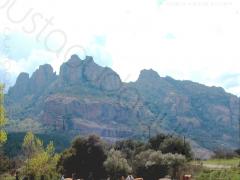
32 km total. First half pretty flat as far as the east side of le Rocher. It then gets steep in the southern/eastern part to gain quickly 200m in altitude (grade over 10%) before the pass is reached. Lovely view on the Vallée de l'Argens on the way down to Le Muy.
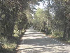
Distance : 35 km
Difficulty Rating : 2/5
35 km of Mediterranean forest with a section of the EuroVelo 8 on the vacant railbed of Sauve Clare.
Be careful in the unlit three short unpaved tunnels between Sauve-Clare and Flayosc. It may be wise to get off the bike.
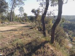
Distance : 43 km
Difficulty Rating : 3/5
All-inclusive paved and unpaved backroads, tracks (Chemin de Belveses along the Florieye river), tunnels and bridges (EuroVelo 8), fording, gorges (Gaye Pan)... Some differences in altitudes before to get to Sauve-Clare but it is indeed a really enjoyable loop with diverse scenery to explore.
Possible pit stops in Lorgues and Flayosc.
Mountain bike required although feasible with sturdy hybrid bicycle equipped with big tires.
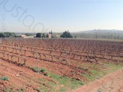
Distance : 46 km
Difficulty Rating : 1/5
46 km pretty flat through the vineyard of Les Arcs, La Motte and Roquebrune sur Argens. A section runs along the famous Rocher de Roquebrune.
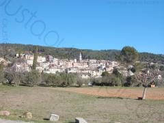
Distance : 56 km
Difficulty Rating : 2/5
56 km through the vineyard of la Vallée des Esclans, Les Gorges de Pennafort (uphill), un village perché (perched village) and Draguignan.
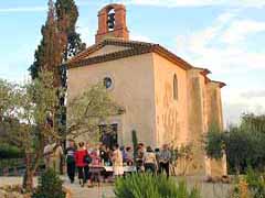
Distance : 56 km
Difficulty Rating : 2/5
56 km of Mediterranean forest with a section of the EuroVelo 8 on the vacant railbed of Sauve Clare - now paved - and a section in the cool along L'Argens river.
Be careful in the unlit three short unpaved tunnels between Sauve-Clare and Flayosc. It may be wise to get off the bike.
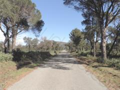
Distance : 63 km
Difficulty Rating : 2/5
63 km with 15 km warm up on the flat until Le pont de l'Aille then partly hilly in the Mediterranean wild forest.
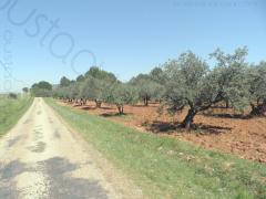
Distance : 63 km
Difficulty Rating : 2/5
63 km through the countryside to reach some villages perchés (hilltop villages).
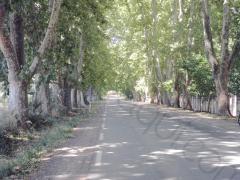
Distance : 67 km
Difficulty Rating : 2/5
67 km loop along Argens river and through the Provence Verte (green Provence) and the castle of the Lords of Entrecasteaux (XIe century).
Distance : 68 km
Difficulty Rating : 2/5
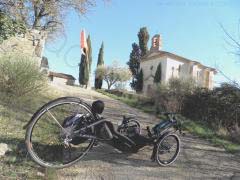
68 km through the countryside to reach some villages perchés (hilltop villages). A section of the EuroVelo 8 on the vacant railbed of Sauve Clare tiny hamlet and its picturesque Saint-Augustin chapel (see picture taken with a race recumbent catrike 700 in the foreground).
Be careful in the unlit three short unpaved tunnels between Sauve-Clare and Flayosc. It may be wise to get off the bike.
Distance : 70 km
Difficulty Rating : 2/5
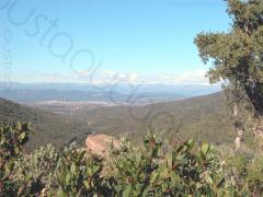
70 km loop on bicycle friendly roads between hills and seafront in the Massif des Maures.Last section along the famous Rocher de Roquebrune.
Distance : 71 km
Difficulty Rating : 2/5
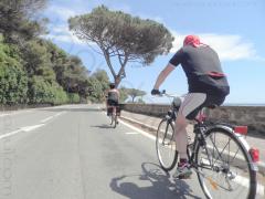
71 km through le Massif des Maures then along the coastline mostly on separate bicycle lane. Way back by train from Fréjus (13mn).
Distance : 75 km
Difficulty Rating : 2/5
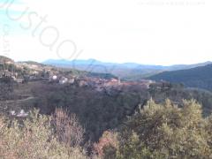
75 km loop to discover Les Villages Perchés (perched villages) and the vineyards of la Vallée des Esclans.
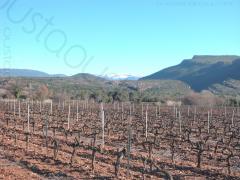
Distance : 81 km
Difficulty Rating : 2/5
81 km loop on bicycle friendly roads between hills and seafront in the Massif des Maures.Last section in the vineyard around Le Chateau du Rouet.
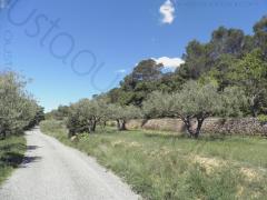
Distance : 95 km
Difficulty Rating : 2/5
95 km through the countryside to reach some villages perchés (hilltop villages). A 15km section on the pleasant EuroVelo 8 European long distance cycle route between Flayosc and Saint-Antonin and also a much appreciated section during the summer heat waves that runs alongside the Argens river under the trees.
Be careful in the unlit three short unpaved tunnels between Sauve-Clare and Flayosc. It may be wise to get off the bike.
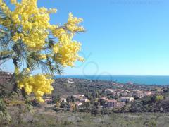
Distance : 96 km
Difficulty Rating : 2/5
96 km loop to reach le Golfe de Saint Tropez by a nice winding quiet tiny road in the wild Massif des Maures. Way back through Les Petites Maures then the vineyard around Le Chateau du Rouet.
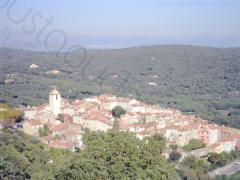
Distance : 106 km
Difficulty Rating : 3/5
106 km hilly and scenic route to dive into the sea at the very famous Plage de Pampelonne and then have a drink in a picturesque village like Ramatuelle or Gassin !
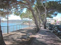
Distance : 123 km
Difficulty Rating : 3/5
123 km to discover the heart of le Massif des Maures and le Golfe de Saint Tropez.
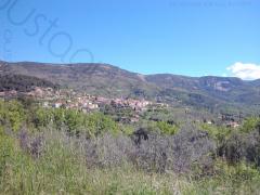
Distance : 124 km
Difficulty Rating : 3/5
124 km loop for a large overwiew of the different landscape we can ride in Provence.
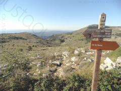
Distance : 130 km
Difficulty Rating : 3/5
Early morning departure by train for Cagnes-sur-Mer (75mn along the coastline - time table for line 03_Les_Arcs_Frejus_StRaphael_Cannes_Nice) then on the bike to climb le Col de Vence (alt. 963 m) as a starter for this exceptional 130 km ride through Les Pré-Alpes de Grasse, Verdon area and Les Villages Perchés.
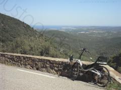
Distance : 135 km
Difficulty Rating : 3/5
135 km with sharp contrast between the wild Massif des Maures and the hectic costline so well depicted in the Philippe Harel's film « Les randonneurs Ă Saint-Tropez » with BenoĂ®t Poelvoorde.
Ride this fantastic scenic route off peak season i.e from september to june if your are prone to agoraphobia. Otherwise once at Grimaud, take Le Plan-de-la-Tour then Vidauban to keep away from the busy coastline.
Distance : 149 km
Difficulty Rating : 3/5
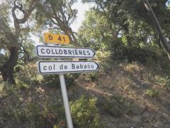
149 km for the whole way around the east part of the Massif des Maures.
First stretch on quiet pretty flat roads through the Plaine des Maures then hilly to cross the main forest area at le col des Fourches (534m) very close to Notre Dame des Anges (780m)the highest point of the Massif des Maures.
Then back to the civilization at the col de Gratteloup (192m) after the light and delicious col de Babaou (416m and view on the Iles d'Or islands) for a 80km fast and lazy stretch in the Golf of Saint Tropez and along the coast.
Distance : 150 km
Difficulty Rating : 4/5
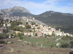
150km unforgetable with a section along the Corniche Sublime in the Gorges du Verdon (Verdon Grand Canyon). Start with 65km uphill of which the 5 last are quite steep before you reach Le Cirque de Vaumale (alt.1241m). The tour ends with a long 50km almost non stop downhill by Les Villages Perchés (hilltop villages).
Please read Tips for cyclists touring Provence, French Riviera and hinterland before you hit the road for this nice ride.
Distance : 200 km
Difficulty Rating : 4/5
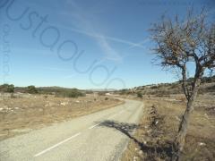
200km offering amazing diversity of landscapes including Les Villages Perchés (hilltop villages), Les champs de lavande (lavender fields), Les Gorges du Verdon (Verdon Grand Canyon) with waypoint at Le Point Sublime (outstanding view over the canyon and its 2000-foot cliffs).
Quiet or even savage empty roads except from mid-june to mid-september on the Verdon stretch from Castellane to Moustiers-Sainte-Marie where crowds of tourists with motor homes have problems to cross each other.
Height major climbs but no heavy difficulties as gradients are generally kind (total ascent is 3450 m)
Start with 40km uphill to warm up then up and down for about 100 km. And finally 50 km mainly free-wheel back down to Les Arcs.
Do not forget to read Tips for cyclists touring Provence, French Riviera and hinterland before you plan this delightfull raid.


