ļ»æļ»æ
ļ»æ
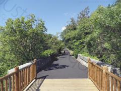
004km-la-vigne-a-velo-draguignan-trans-v01
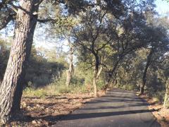
005km-la-vigne-a-velo-les-arcs-sainte-roseline-v01
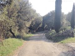
oustaoudaqui-les-laurons-fantroussieres-7km
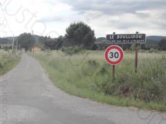
oustaoudaqui-le-bouillidou-saint-roch-10km
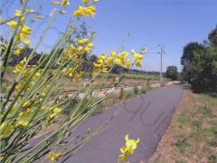
011km-la-vigne-a-velo-v01
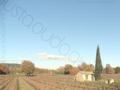
012km-les-arcs-gare-sncf-vigne-a-velo-le-bouillidou-v01
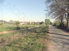
oustaoudaqui-fantroussieres-le-bouillidou-13km
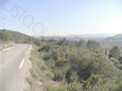
oustaoudaqui-taradeau-les-contes-15km
oustaoudaqui-taradeau-les-nourradons-20km
oustaoudaqui-la-motte-les-valises-21km
oustaoudaqui-sauve-clare-taradeau-35km
oustaoudaqui-la-bouverie-la-roquette-46km
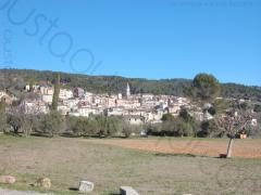
oustaoudaqui-callas-draguignan-56km
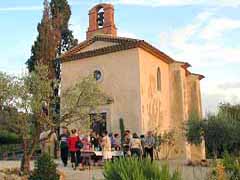
oustaoudaqui-sauve-clare-entraygues-56km
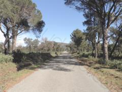
oustaoudaqui-les-pierrons-la-mourre-63km
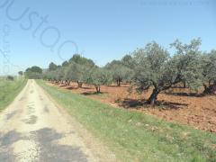
oustaoudaqui-ampus-tourtour-63km
oustaoudaqui-entrecasteaux-les-nourradons-67km
oustaoudaqui-ampus-tourtour-lorgues-68km
oustaoudaqui-valdingarde-la-motte-70km
oustaoudaqui-les-pierrons-frejus-sncf-71km
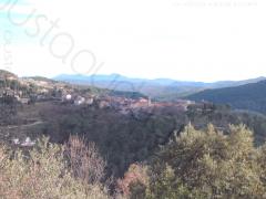
oustaoudaqui-ampus-bargemon-75km
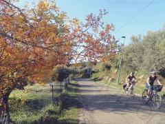
flayosc-aups-cotignac-80km
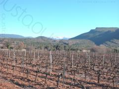
oustaoudaqui-valdingarde-la-bouverie-81km
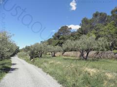
oustaoudaqui-ampus-tourtour-saint-antonin-95km
oustaoudaqui-grimaud-rouet-96km
Below your selection of
25
routes
|
Type
City +
Location
Any
Sort by
Distance

Area : Provence Verte
Distance : 4 km
Difficulty Rating : 1/5
4 km flat ride on the section 5 of the famous greenway La Vigne Ć VĆ©lo (Vineyard by Bike).
Distance : 4 km
Difficulty Rating : 1/5
4 km flat ride on the section 5 of the famous greenway La Vigne Ć VĆ©lo (Vineyard by Bike).

Area : Argens
Distance : 5 km
Difficulty Rating : 2/5
5 km pretty flat ride - a few very short steep inclines near bridges or ways under the railbed and also in the Saint-Charles wood - on the section 2 of the famous greenway La Vigne Ć VĆ©lo (Vineyard by Bike).
Distance : 5 km
Difficulty Rating : 2/5
5 km pretty flat ride - a few very short steep inclines near bridges or ways under the railbed and also in the Saint-Charles wood - on the section 2 of the famous greenway La Vigne Ć VĆ©lo (Vineyard by Bike).

Area : Argens
Distance : 7 km
Difficulty Rating : 2/5
7 km ride to discover the bottom and the top of the village.
Distance : 7 km
Difficulty Rating : 2/5
7 km ride to discover the bottom and the top of the village.

Area : Argens
Distance : 10 km
Difficulty Rating : 1/5
10 km leisurely flat ride to discover the village and some small bicycle friendly roads nearby.
Distance : 10 km
Difficulty Rating : 1/5
10 km leisurely flat ride to discover the village and some small bicycle friendly roads nearby.

Area : Argens
Distance : 11 km
Difficulty Rating : 2/5
11 km pretty flat (a few very short steep sections) return ride on the famous greenway La Vigne Ć VĆ©lo (Vineyard by Bike).
Distance : 11 km
Difficulty Rating : 2/5
11 km pretty flat (a few very short steep sections) return ride on the famous greenway La Vigne Ć VĆ©lo (Vineyard by Bike).

Area : Argens
Distance : 12 km
Difficulty Rating : 2/5
12 km pretty flat ride combining back roads and the famous greenway La Vigne Ć VĆ©lo (Vineyard by Bike).
Distance : 12 km
Difficulty Rating : 2/5
12 km pretty flat ride combining back roads and the famous greenway La Vigne Ć VĆ©lo (Vineyard by Bike).

Area : Argens
Distance : 13 km
Difficulty Rating : 2/5
13 km to discover the bottom and the top of the village as well as its plain nearby.
Distance : 13 km
Difficulty Rating : 2/5
13 km to discover the bottom and the top of the village as well as its plain nearby.

Area : Provence Verte
Distance : 15 km
Difficulty Rating : 2/5
13 km total. 5 km flat to warm up then 2 km uphill to get a nice overview. Nice back roads through St Martin chapel and Taradel Sarazin Tower then downhill to les Arcs.
Distance : 15 km
Difficulty Rating : 2/5
13 km total. 5 km flat to warm up then 2 km uphill to get a nice overview. Nice back roads through St Martin chapel and Taradel Sarazin Tower then downhill to les Arcs.

Area : Provence Verte
Distance : 20 km
Difficulty Rating : 2/5
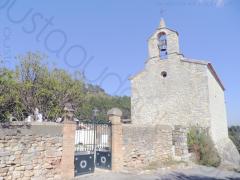
20 km total. 5 km flat to warm up then 2 km uphill to get a nice overview. Nice back roads through St Martin chapel, Taradel Sarazin Tower, ChĆ¢teau d'Ott vineyard and Mediterranean forest.
Distance : 20 km
Difficulty Rating : 2/5
20 km total. 5 km flat to warm up then 2 km uphill to get a nice overview. Nice back roads through St Martin chapel, Taradel Sarazin Tower, ChĆ¢teau d'Ott vineyard and Mediterranean forest.

Area : Argens
Distance : 21 km
Difficulty Rating : 2/5
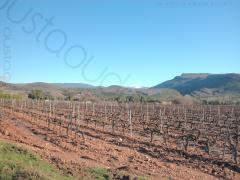
21 km pretty flat through Les Arcs, La Motte and Le Muy vineyards.
Distance : 21 km
Difficulty Rating : 2/5
21 km pretty flat through Les Arcs, La Motte and Le Muy vineyards.

Area : Provence Verte
Distance : 35 km
Difficulty Rating : 2/5
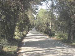
35 km of Mediterranean forest with a section of the EuroVelo 8 on the vacant railbed of Sauve Clare.
Be careful in the unlit three short unpaved tunnels between Sauve-Clare and Flayosc. It may be wise to get off the bike.
Distance : 35 km
Difficulty Rating : 2/5
35 km of Mediterranean forest with a section of the EuroVelo 8 on the vacant railbed of Sauve Clare.
Be careful in the unlit three short unpaved tunnels between Sauve-Clare and Flayosc. It may be wise to get off the bike.

Area : Argens
Distance : 46 km
Difficulty Rating : 1/5
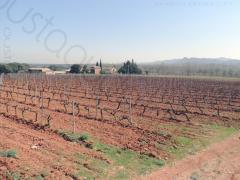
46 km pretty flat through the vineyard of Les Arcs, La Motte and Roquebrune sur Argens. A section runs along the famous Rocher de Roquebrune.
Distance : 46 km
Difficulty Rating : 1/5
46 km pretty flat through the vineyard of Les Arcs, La Motte and Roquebrune sur Argens. A section runs along the famous Rocher de Roquebrune.

Area : Haut-Var
Distance : 56 km
Difficulty Rating : 2/5
56 km through the vineyard of la VallƩe des Esclans, Les Gorges de Pennafort (uphill), un village perchƩ (perched village) and Draguignan.
Distance : 56 km
Difficulty Rating : 2/5
56 km through the vineyard of la VallƩe des Esclans, Les Gorges de Pennafort (uphill), un village perchƩ (perched village) and Draguignan.

Area : Provence Verte
Distance : 56 km
Difficulty Rating : 2/5
56 km of Mediterranean forest with a section of the EuroVelo 8 on the vacant railbed of Sauve Clare - now paved - and a section in the cool along L'Argens river.
Be careful in the unlit three short unpaved tunnels between Sauve-Clare and Flayosc. It may be wise to get off the bike.

Area : Maures
Distance : 63 km
Difficulty Rating : 2/5
63 km with 15 km warm up on the flat until Le pont de l'Aille then partly hilly in the Mediterranean wild forest.
Distance : 63 km
Difficulty Rating : 2/5
63 km with 15 km warm up on the flat until Le pont de l'Aille then partly hilly in the Mediterranean wild forest.

Area : Haut-Var
Distance : 63 km
Difficulty Rating : 2/5
63 km through the countryside to reach some villages perchƩs (hilltop villages).
Distance : 63 km
Difficulty Rating : 2/5
63 km through the countryside to reach some villages perchƩs (hilltop villages).

Area : Provence Verte
Distance : 67 km
Difficulty Rating : 2/5
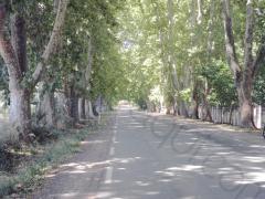
67 km loop along Argens river and through the Provence Verte (green Provence) and the castle of the Lords of Entrecasteaux (XIe century).
Distance : 67 km
Difficulty Rating : 2/5
67 km loop along Argens river and through the Provence Verte (green Provence) and the castle of the Lords of Entrecasteaux (XIe century).

Area : Haut-Var
Distance : 68 km
Difficulty Rating : 2/5
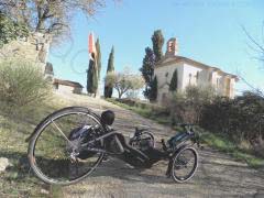
68 km through the countryside to reach some villages perchƩs (hilltop villages). A section of the EuroVelo 8 on the vacant railbed of Sauve Clare tiny hamlet and its picturesque Saint-Augustin chapel (see picture taken with a race recumbent catrike 700 in the foreground).
Be careful in the unlit three short unpaved tunnels between Sauve-Clare and Flayosc. It may be wise to get off the bike.

Area : Maures
Distance : 70 km
Difficulty Rating : 2/5
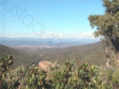
70km loop on bicycle friendly roads between hills and seafront in the Massif des Maures.Last section along the famous Rocher de Roquebrune.
Distance : 70 km
Difficulty Rating : 2/5
70km loop on bicycle friendly roads between hills and seafront in the Massif des Maures.Last section along the famous Rocher de Roquebrune.

Area : Maures
Distance : 71 km
Difficulty Rating : 2/5
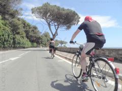
71 km through le Massif des Maures then along the coastline mostly on separate bicycle lane. Way back by train from FrƩjus (13mn).
Distance : 71 km
Difficulty Rating : 2/5
71 km through le Massif des Maures then along the coastline mostly on separate bicycle lane. Way back by train from FrƩjus (13mn).

Area : Haut-Var
Distance : 75 km
Difficulty Rating : 2/5
75km loop to discover Les Villages PerchƩs (perched villages) and the vineyard of la VallƩe des Esclans.
Distance : 75 km
Difficulty Rating : 2/5
75km loop to discover Les Villages PerchƩs (perched villages) and the vineyard of la VallƩe des Esclans.

Area : Haut-Var
Distance : 80 km
Difficulty Rating : 2/5
80 km loop between Provence Verte and Haut-Var. Very scenic balcony road between Tourtour and Aups.
Nice 15 km section of the EuroVelo 8 between Saint-Antonin and Flayosc.
Be careful in the unlit three short unpaved tunnels between Sauve-Clare and Flayosc. It may be wise to get off the bike.

Area : Maures
Distance : 81 km
Difficulty Rating : 2/5
81 km loop on bicycle friendly roads between hills and seafront in the Massif des Maures.Last section in the vineyard around Le Chateau du Rouet.
Distance : 81 km
Difficulty Rating : 2/5
81 km loop on bicycle friendly roads between hills and seafront in the Massif des Maures.Last section in the vineyard around Le Chateau du Rouet.

Area : Haut-Var
Distance : 95 km
Difficulty Rating : 2/5
95 km through the countryside to reach some villages perchƩs (hilltop villages). A 15km section on the pleasant EuroVelo 8 European long distance cycle route between Flayosc and Saint-Antonin and also a much appreciated section during the summer heat waves that runs alongside the Argens river under the trees.
Be careful in the unlit three short unpaved tunnels between Sauve-Clare and Flayosc. It may be wise to get off the bike.

Area : Maures
Distance : 96 km
Difficulty Rating : 2/5
96km loop to reach le Golfe de Saint Tropez by a nice winding quiet tiny road in the wild Massiuf des Maures. Way back through Les Petites Maures then the vineyard around Le Chateau du Rouet.
Distance : 96 km
Difficulty Rating : 2/5
96km loop to reach le Golfe de Saint Tropez by a nice winding quiet tiny road in the wild Massiuf des Maures. Way back through Les Petites Maures then the vineyard around Le Chateau du Rouet.


